

News
-
Do You Know the Difference Between a City and a County?
This kind of information is very helpful no matter what business you’re in, or what you do for a living. Whether you’re new to town or if you’ve lived here a lifetime knowing how government works for you, and who does what, is vital.Read Full Story… -
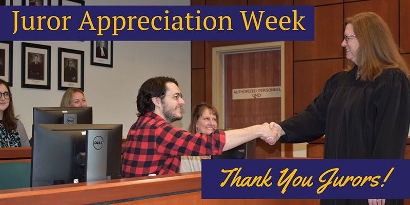
Juror Appreciation Week
It’s Juror Appreciation Week. A time to say “Thank you for your service!” If you’ve ever had jury duty in Ada County you know the process is streamlined, considerate, professional and most of all – important!Read Full Story… -

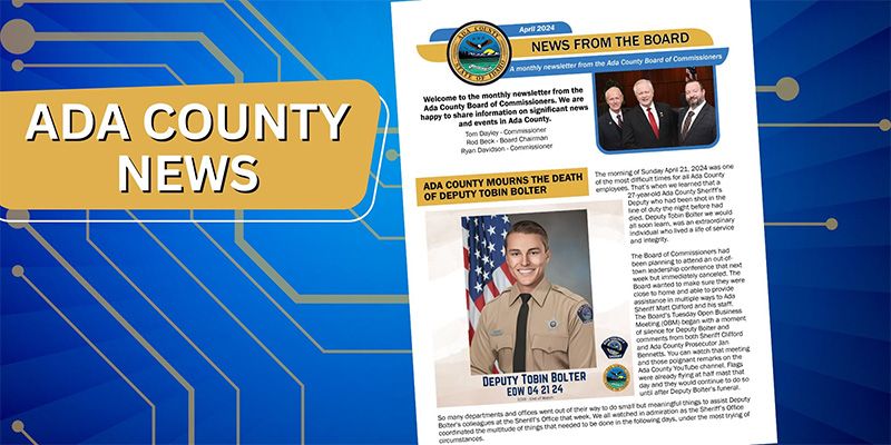
Ada County Mourns Deputy Tobin Bolter
It is with profound sadness that the Board of Ada County Commissioners, Chairman Rod Beck, Commissioner Ryan Davidson, and Commissioner Tom Dayley share their deep condolences with the entire Ada County community for the loss of one of our Ada County Deputies.Read Full Story…
Events
-

NATIONAL ADOPTION DAY IS NOVEMBER 18, 2023
More than 400 foster children in Ada County are awaiting adoption. When these children find their new families it brings joy to so many – new parents, new siblings, new grandparents, aunts, uncles, cousins neighbors and countless others. For children and families adoption is a life changing event. Making sure the community and prospective parentsMore Details… -
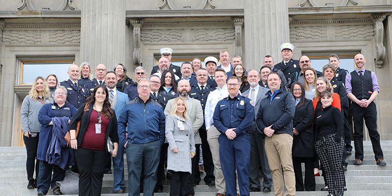
Ada County Paramedics – EMS Day at the Capital
More Details… -
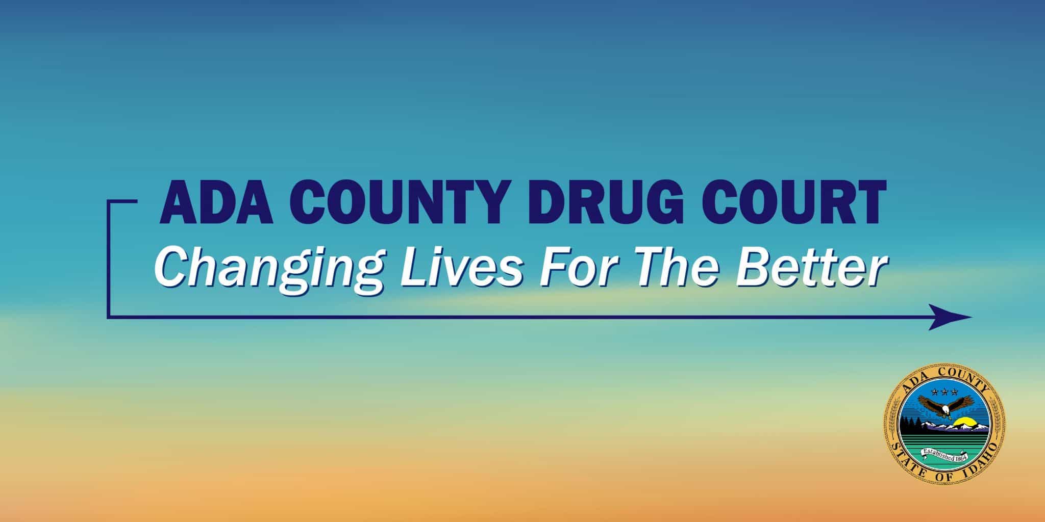
Ada County Drug Court – Changing Lives For the Better
One of Ada County’s most important and inspiring services is Drug Court. Each year the lives of individuals and families are changed for the better by this rigorous program. Please take a moment to watch how the program works.More Details…